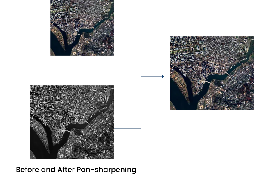
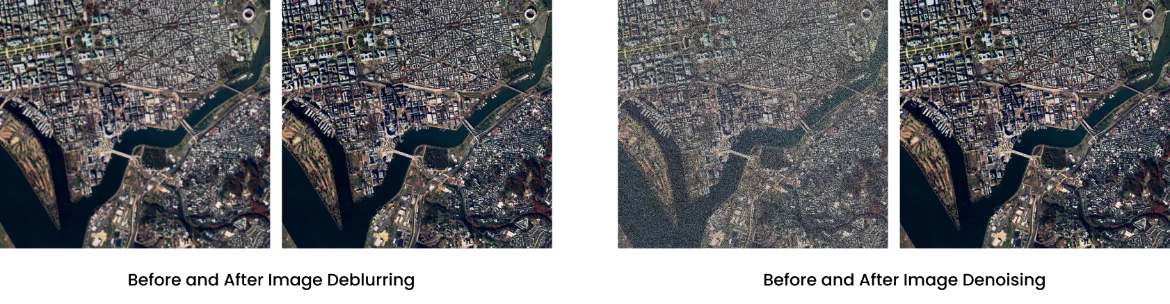
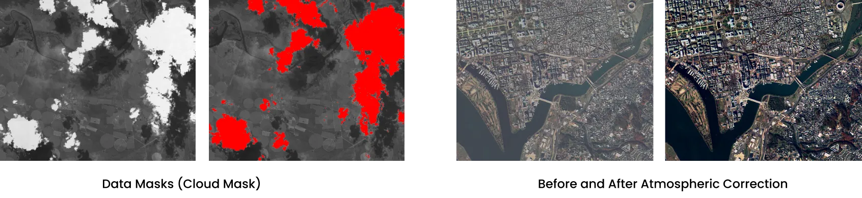
Introducing APRIL's satellite data processing as a service, an offering integrated within our proprietary software suite, SCULPT (Scientific Construction of Satellite Data Products Toolkit). It is designed for clients seeking to leverage APRIL's unparalleled expertise. SCULPT transforms raw satellite data into actionable, analytics-ready data products. This service provides automated data processing and archiving, streamlining operations for our valued customers. Our team comprises seasoned specialists in image and signal processing, boasting extensive experience spanning decades in generating data products from the most challenging earth observation payloads.

Payloads Served

Isolation_Mode1

Panchromatic
(Sub-Meter to Coarse-Resolution)

Isolation_Mode2

Infrared Imagery

Isolation_Mode3

Multi-Spectral Imagery

Isolation_Mode4

Synthetic Aperture Radar Imagery

Isolation_Mode5

Hyper-Spectral Imagery


Salient Features of SCULPT

    check_icon1
  • Completely automated data processing for generation of analytics-ready data products.
  • check_icon2
  • No investment in infrastructure and resources for the generation of data products.
  • check_icon3
  • Tailor-made software services to fit into your satellites.
  • check_icon4
  • In-flight as well as ground data calibration, both radiometric and geometric.
  • check_icon5
  • Extensive step-by-step documentation of all processes.
  • check_icon6
  • Enhanced user experience in using the data.
  • check_icon7
  • Reduced turn-around time.
  • check_icon8
  • Easy installation along with regular updates to the software.
  • check_icon9
  • Parallel processing chains.
  • check_icon10
  • Expert advice and step-by-step guidance from mission concept design to payload calibration.
  • check_icon11
  • Round the clock support for correction of anomalies.
  • check_icon12
  • Image enhancement services.
  • check_icon13
  • Data Repository, Tasking APIs and Archival Systems.
  • check_icon14
  • Quality, cost effectiveness and time-bound deliveries.

Best for individual and single deployments

  • Single license
  • Pay per license
  • All modules
  • Training and support
Enquiry Now

Recommended solution for multiple users in the same institution

  • 10 licenses
  • All modules
  • Training and support
Enquiry Now

Analytics on request

  • Tailor-made reports for your unique requirements
  • GEOINT reports over an selected AOI
  • Flexible frequency
  • pay per report
  • consultation and support
Enquiry Now

Highlights of Our Package Include

  • Image Deblurring
  • Super Resolution
  • Flat-field and Radiance
    Correction
  • Atmospheric Correction
  • Data Dissemination Platform
  • Image Denoising
  • Pan Sharpening
  • Geometric Tagging and
    Resampling
  • Precision & Relief Correction
  • Ground Operations Software
  • Data Masks
  • Exposure Fusion
  • Image Mosaicking / Optical
    Butting Correction
  • Band-to-Band Registration
  • Standardized Data Formatting
april-before-and-after-pan-sharpening
april-before-and-after-image-deblurring

The Following Table Outlines the Various Levels of Data Processing

Data Level Description
Level 0 Raw data captured by the satellite’s payload
Level 1 The Radiance Product applies precision geometric corrections and radiometric corrections to the L0 product
Level 2 Reflectance Product, i.e., the L1 product, which has been atmospherically corrected and with reflectance generated for the same
Level 3
(Higher Level)
Pan-sharpened product with spatial output sampling of panchromatic bands as well as colour from the multispectral channels
april-data-mask