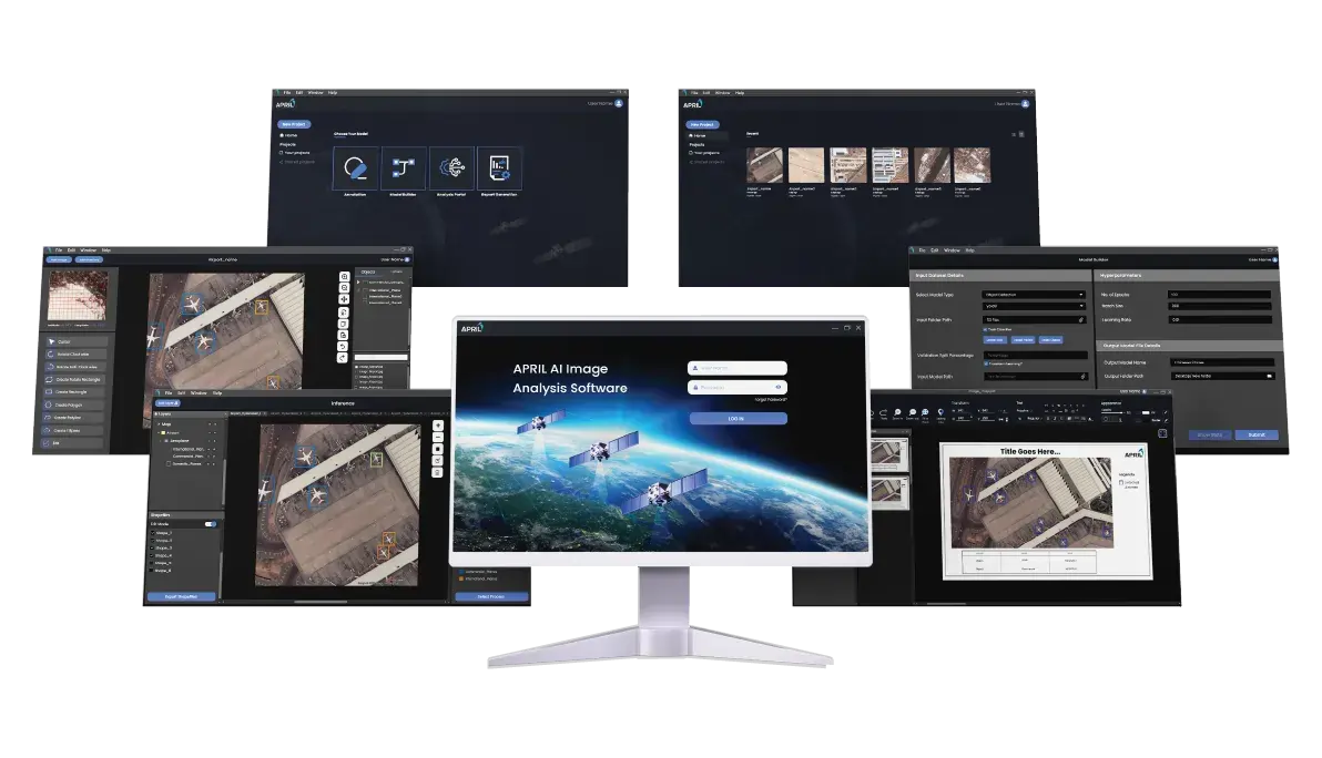
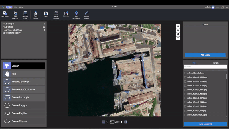
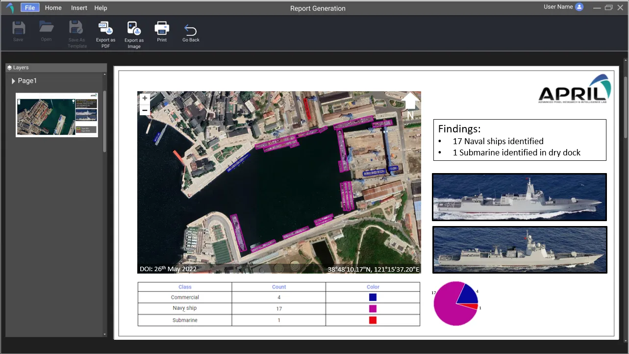
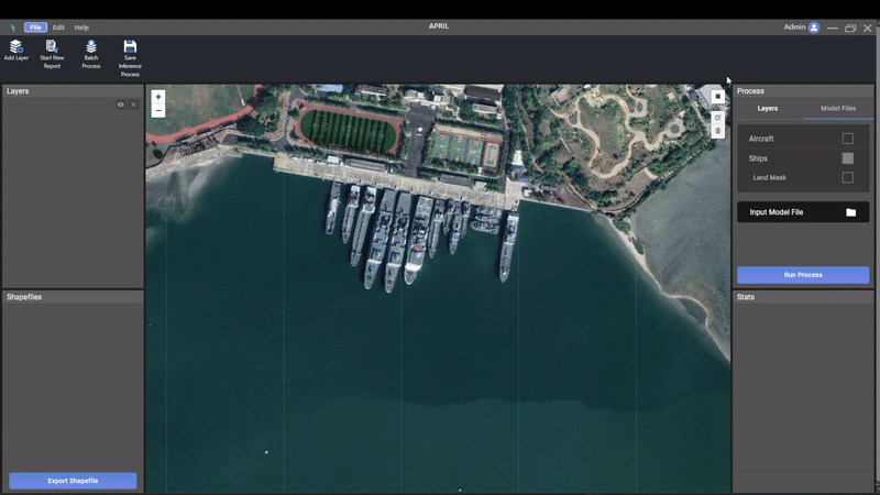
What is AIAS?
AIAS (APRIL Image Analytics Software) is a sophisticated enterprise solution tailored to optimise and automate the image processing and analysis pipeline for remote sensing image analysts. It encompasses a complete end-to-end workflow, including annotation, deep learning model training, object and structure detection, and the generation of comprehensive reports from satellite imagery. AIAS provides a robust library of pre-trained artificial intelligence models, as well as a wide array of advanced image processing and GIS tools, all of which are designed to improve image analysis efficiency and facilitate the creation of detailed analytical reports.