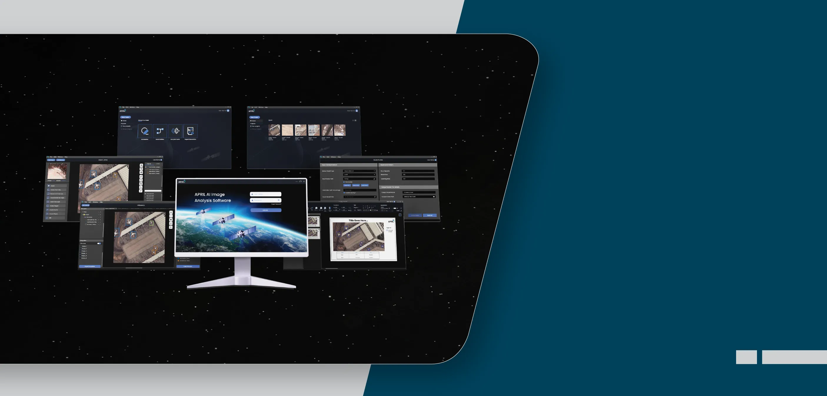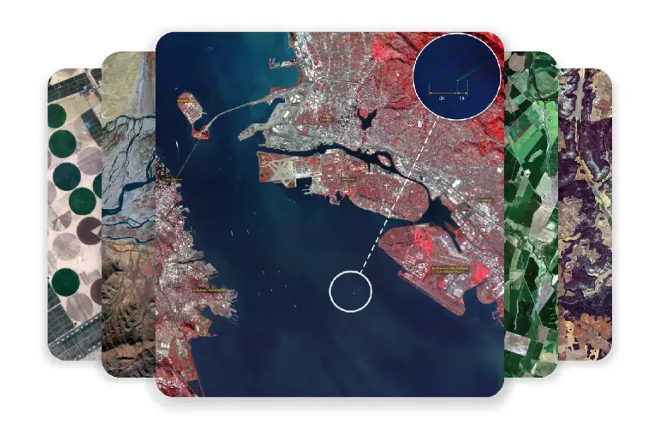
APRIL - Advanced Pixel Research & Intelligence Lab is a strategic business unit of Azista Industries. The unit was established with the aim of leveraging the combined capabilities of remote sensing, earth observation satellites, GIS systems and AI for the purpose of processing and analyzing data.
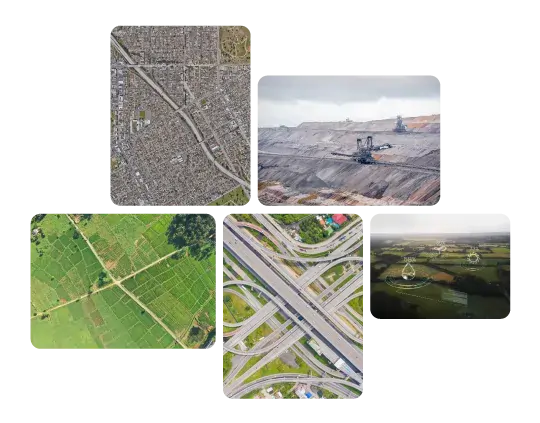
APRIL’s sophisticated tools empower decision makers across industries and institutions. Our Earth observation satellites cater to governmental, environmental, mining, agricultural, transportation, forestry and navigation needs.
APRIL - Advanced Pixel Research & Intelligence Lab, an SBU of Azista Industries, established with the goal to harness the collective potential of remote sensing, earth observation satellites, GIS systems and AI to process and analyze data.
APRIL’s sophisticated tools empowers decision makers across industries and institutions. Our Earth observation satellites cater to governmental, environmental, mining, agricultural, forestry, transportation, and navigation needs.
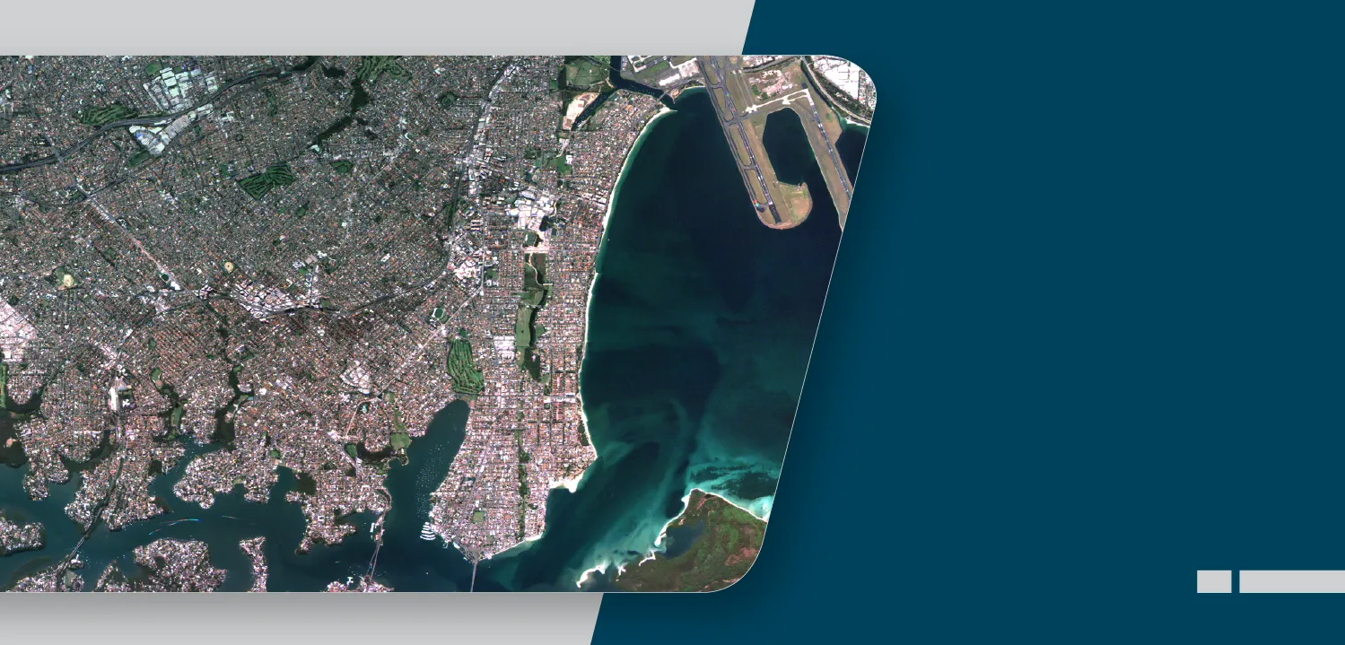
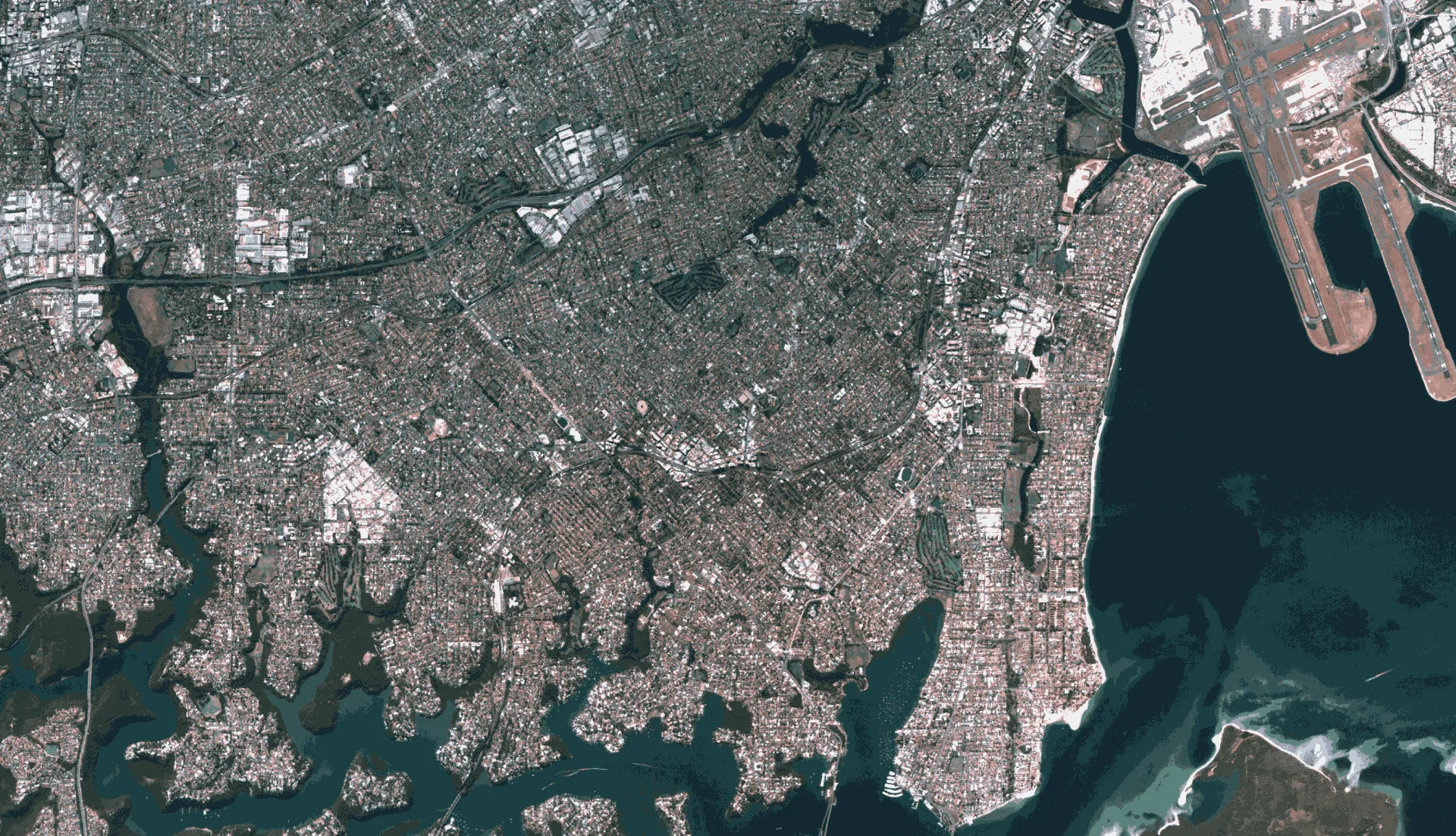
Sampling: ~4.6m (NADIR)
Swath: ~70km
Payload: Optical (PAN, MS)
Scene size: 70 x 70km
Processing level: Level 0, 1, 2
Revisit rate: 4 to 5 Days
Sampling: ~4.6m (NADIR)
Swath: ~70km
Payload: Optical (PAN, MS)
Scene size: 70 x 70km
Processing level: Level 0, 1, 2
Revisit rate: 4 to 5 Days
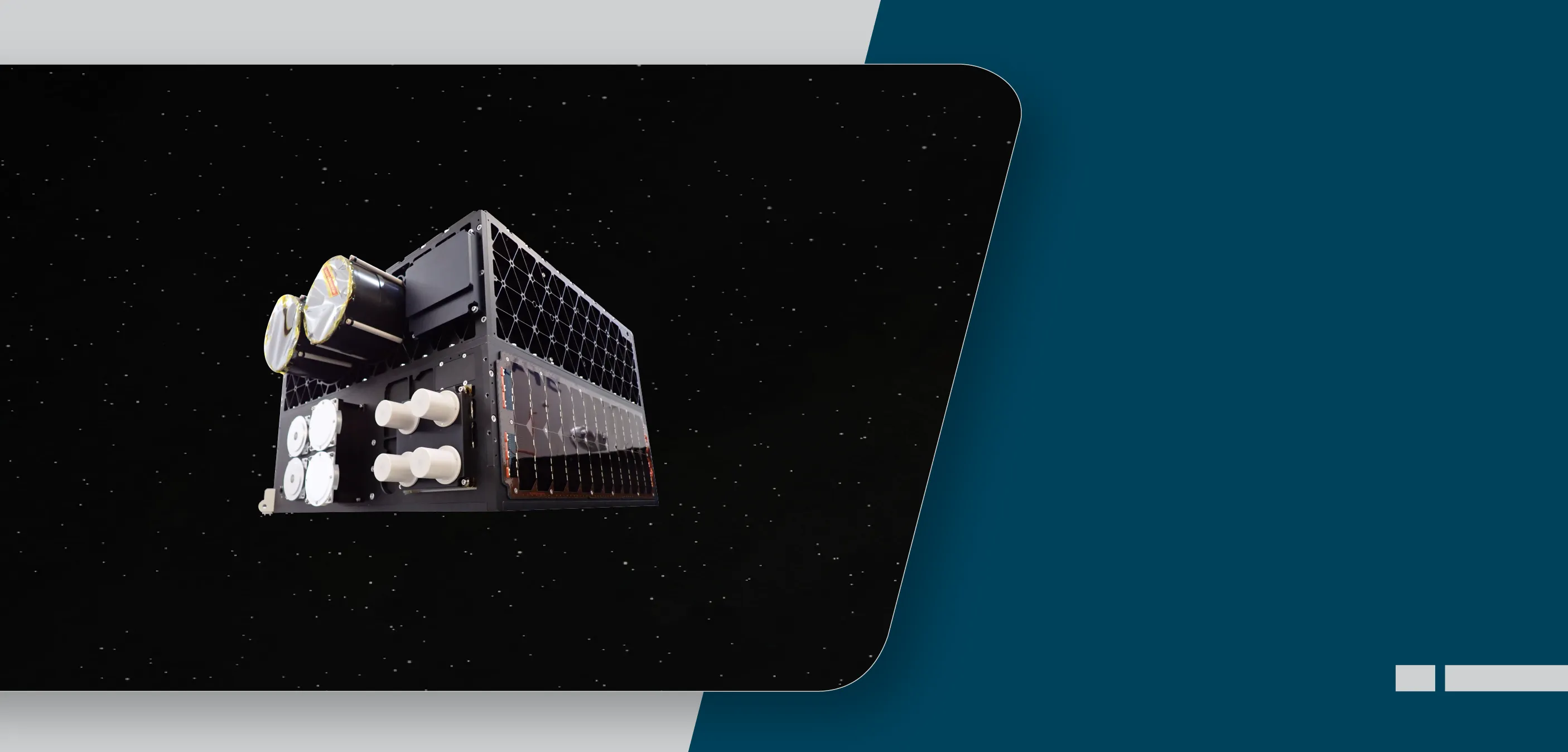
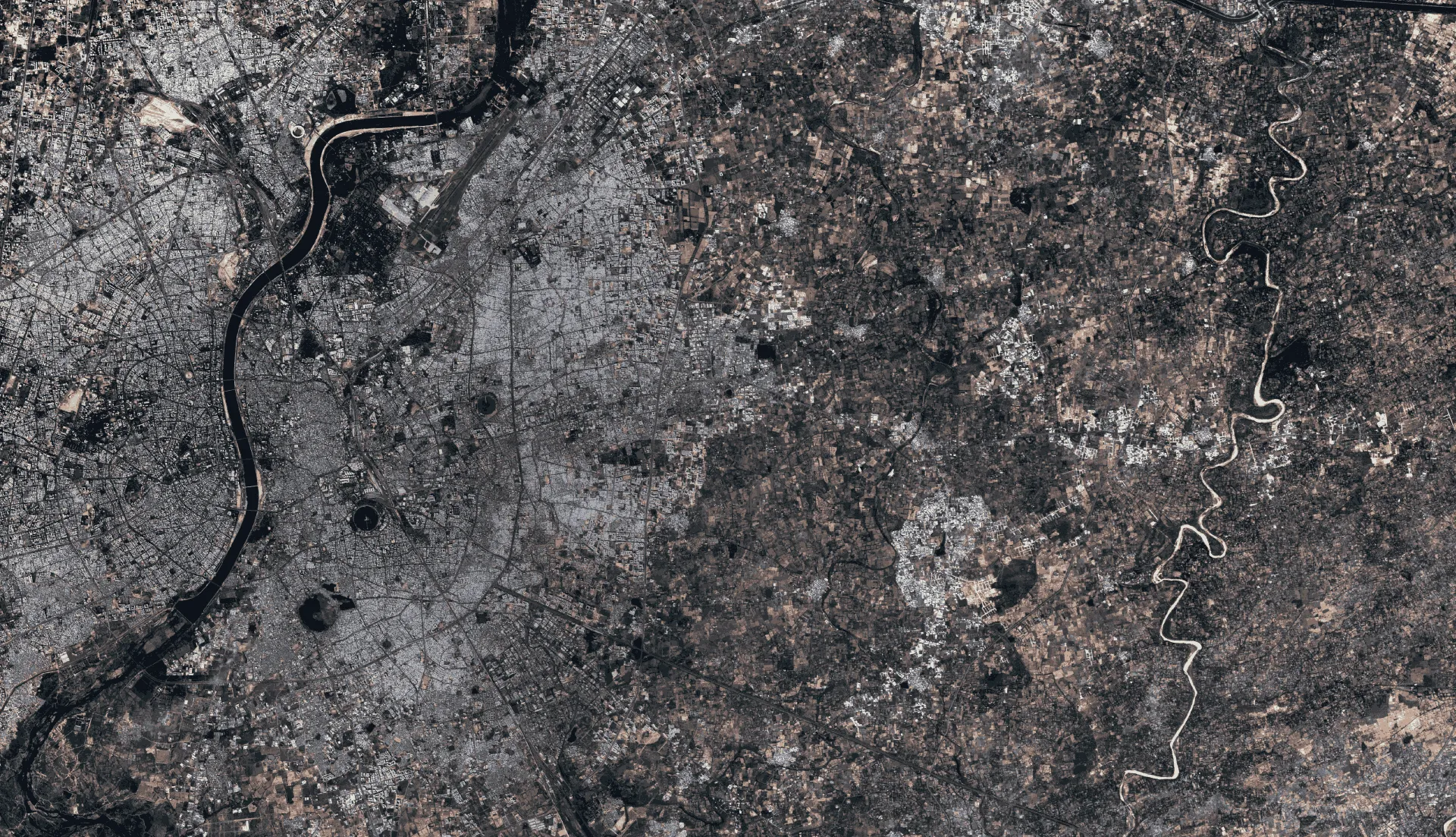
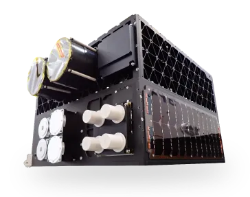
ABA First Runner (AFR) is the first satellite built and operated by the Azista group. AFR is a wide-swath, medium-resolution remote sensing satellite with applications in both civilian and defence sectors. AFR revolutionises remote sensing technology and opens up new possibilities for data-driven solutions.

Single license with a 30-day trial
Best for individual and single deployments
Recommended solution for multiple users in the same institution

Analytics on request
BFSI
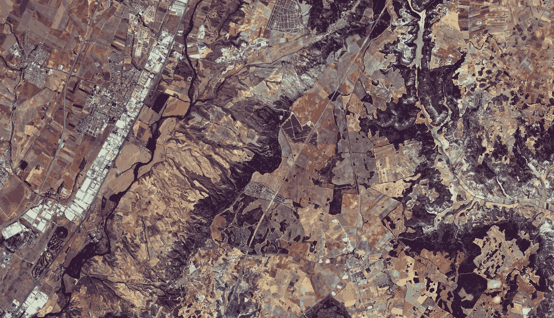
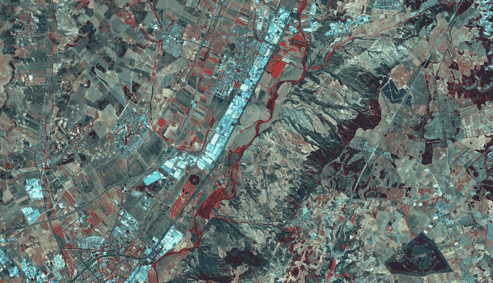
Geospatial
Mining
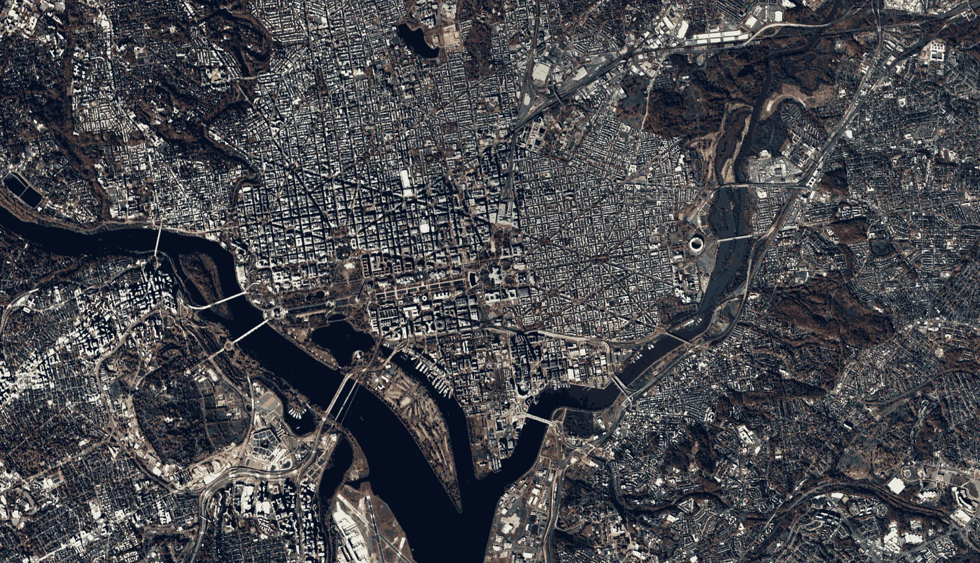
Urban Infrastructure
Telecom
Environment Monitoring
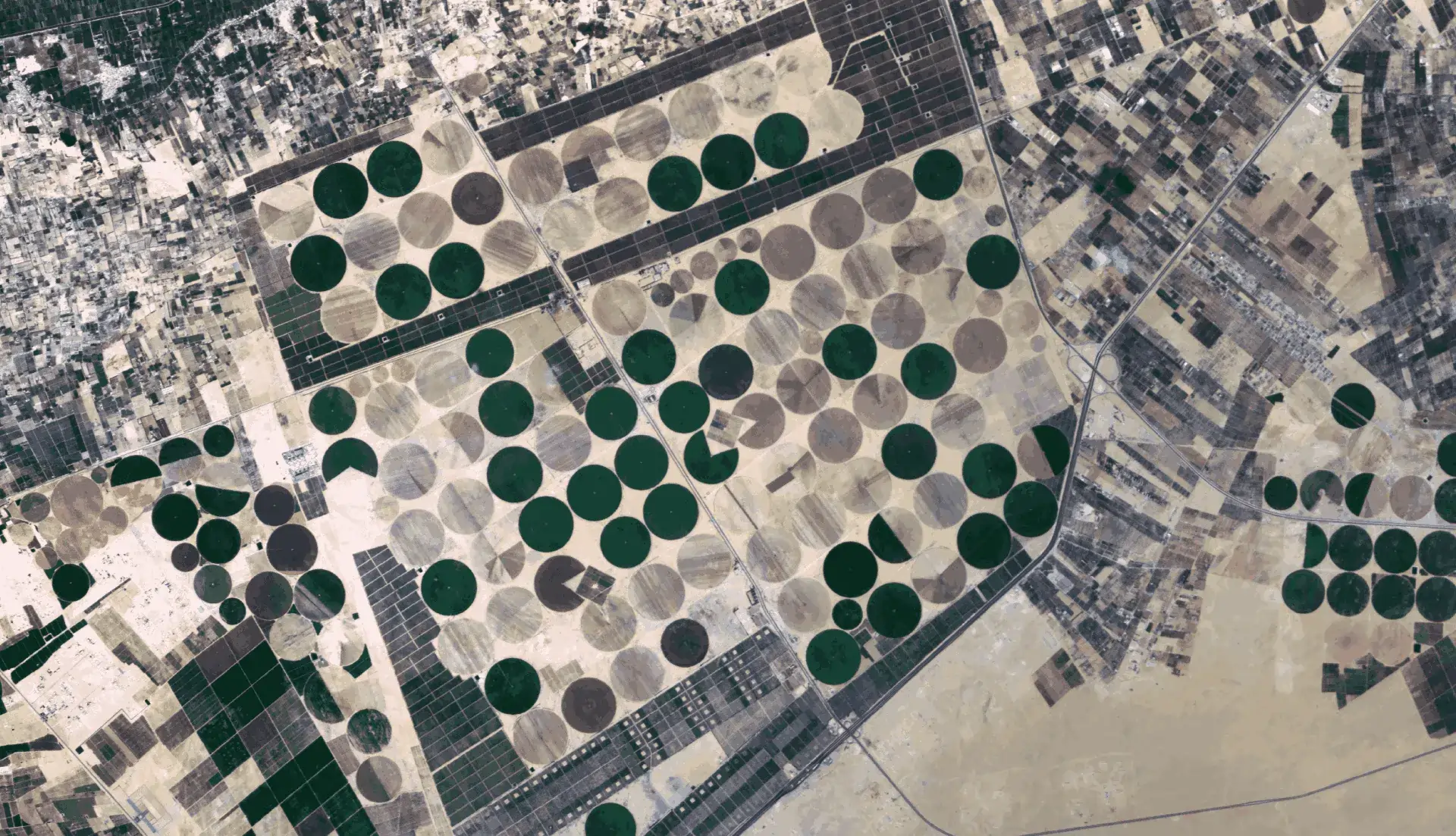
Agriculture
Transport and Navigation
We specialise in processing and analysing data using cutting-edge Al/ML algorithms. Our satellite imagery supports industries such as government, environment, mining, agriculture, forestry, transportation and navigation.